315-788-0287

A foundation of Dedication, Experience, and Technology.
Professional Services
MUNICIPAL ● PRIVATE ● COMMERCIAL ● INDUSTRIAL
Storino Geomatics, PLLC offers a wide variety of solutions for your land surveying, mapping and geospatial needs. Deliverables are available in a wide variety of formats including hard copy, miscellaneous AutoCAD formats, and pdf documents.
All work is completed in NAD 1983 / NAVD 1988 utilizing the NY, VT and PA State Plane Coordinate Systems with Survey Grade GPS.
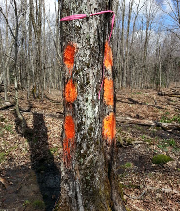
![]() It’s in your interest, Contact a Surveyor
It’s in your interest, Contact a Surveyor
TAP TO EXPAND
• ALTA / ACSM Land Title Surveys
• Municipal Boundary Surveys
• Residential Property Surveys
• Commercial Property Surveys
• Industrial Property Surveys
• Property Line Stake-out
• Cut-Out Surveys
• Lot Surveys
• Lot line Adjustment Surveys
• Title / Mortgage Surveys
• Building / House Location Surveys
• Survey Updates
• Large Acreage Surveys
• Farm Surveys
• Full topographic Surveying and Mapping
• Volumetric / Quantity Surveys
• Digital Terrain Modeling (DTM)
• Mine Surveys
• Hydrographic Surveys
• Structural Deformation Surveys
• Horizontal / Vertical Control Surveys
• Photogrammetric / Aerial Surveys and Mapping – Corridor or Large tract Surveys
• Federal Emergency Management Agency (FEMA) Flood Elevation Certifications
Homeowner’s Guide to Elevation Certificates
• Federal Emergency Management Agency (FEMA) Letter of Map Amendment (LOMA)
• Federal Emergency Management Agency (FEMA) ELOMA / Online LOMC
How to Request a Letter of Map Amendment (LOMA) or Letter of Map Revision Based on Fill (LOMR - F)
• Engineering Surveys / Architectural Surveys
• Land Planning / Site Development Surveys
• Percolation Testing
• Geotechnical Boring / Sampling Layout Surveys
• Subdivision Surveys – Design / Layout, Approvals, Monumentation
• Utility / Infrastructure Surveying and Mapping
• Telecommunications Tower Surveys – Development Surveys and Mapping, FAA 1A and 2C Certifications
• Energy Surveys - Wind Farm Surveys, Transmission Line Surveys, Solar Panel Surveys
• Horizontal / Vertical Control Surveys
• Route / Alignment Surveys – Highways, Pipelines, Canals, Railroads
• Construction Surveys
• Construction Layout Surveys
• Utility / Infrastructure, Roadway Layout
• Record / As-Built / Final Surveys
• Right-of-Way / Easement Creation, Surveys, Mapping
• Right-of-Way / Easement Determination Surveys
• Right-of-Way / Easement Monumentation
• Street Surveys, Monumentation, Mapping
• Boundary Line Agreements
• Boundary line dispute resolution
• Accident Surveys
• Investigation Surveys
• Expert Witness Court Testimony
• GPS Services–Static, RTK, RTN Surveys
• Geographic Information System Creation and Maintenance
• Utility / Infrastructure Inventory Surveys
• Digital Plan / Map Conversion
• Photogrammetric control Surveys
• Horizontal / Vertical Control Surveys
• Aerial Photography
• Monitor Well Location Surveys
• Wetland & Resource Surveying and Mapping
• Soil Mapping Overlays
• Flood Mapping Overlays
• Conservation Easement Surveys
• Full Mapping Services
• Mapping – ( Zoning, Tax, Official)
• Acquisition mapping
• Base Mapping
• Map Scanning
• Legal Descriptions
• Land Record Deed / Map Research
• Government Coordination / Representation
• Planning / Zoning Board Representation
• SEQR Preparation – Short / Long Environmental Assessment
• Application Preparation